

[ maritime ]
A maritime security mission can cross three coverage zones before a crew can finish one task. When the handoff fails, surveillance, reporting, and command continuity fail with it.

Hoplynk keeps government maritime operations connected across vessels, shore locations, and temporary response nodes, reducing manual link management as missions move from port to open water.
Shore departure handoffs
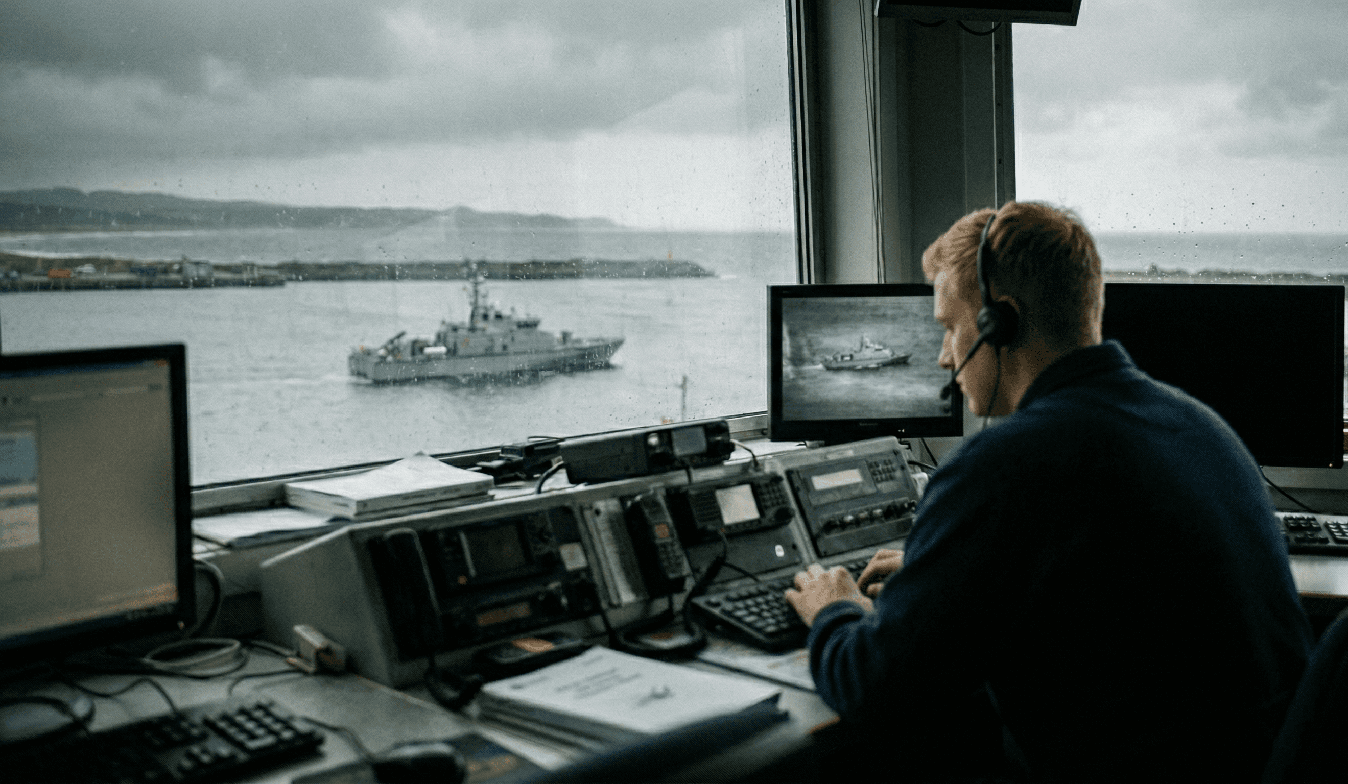
Active sessions drop as vessels move from pier-side Wi-Fi or wired shore access to coastal LTE and then offshore SATCOM.
One backhaul, many claimants
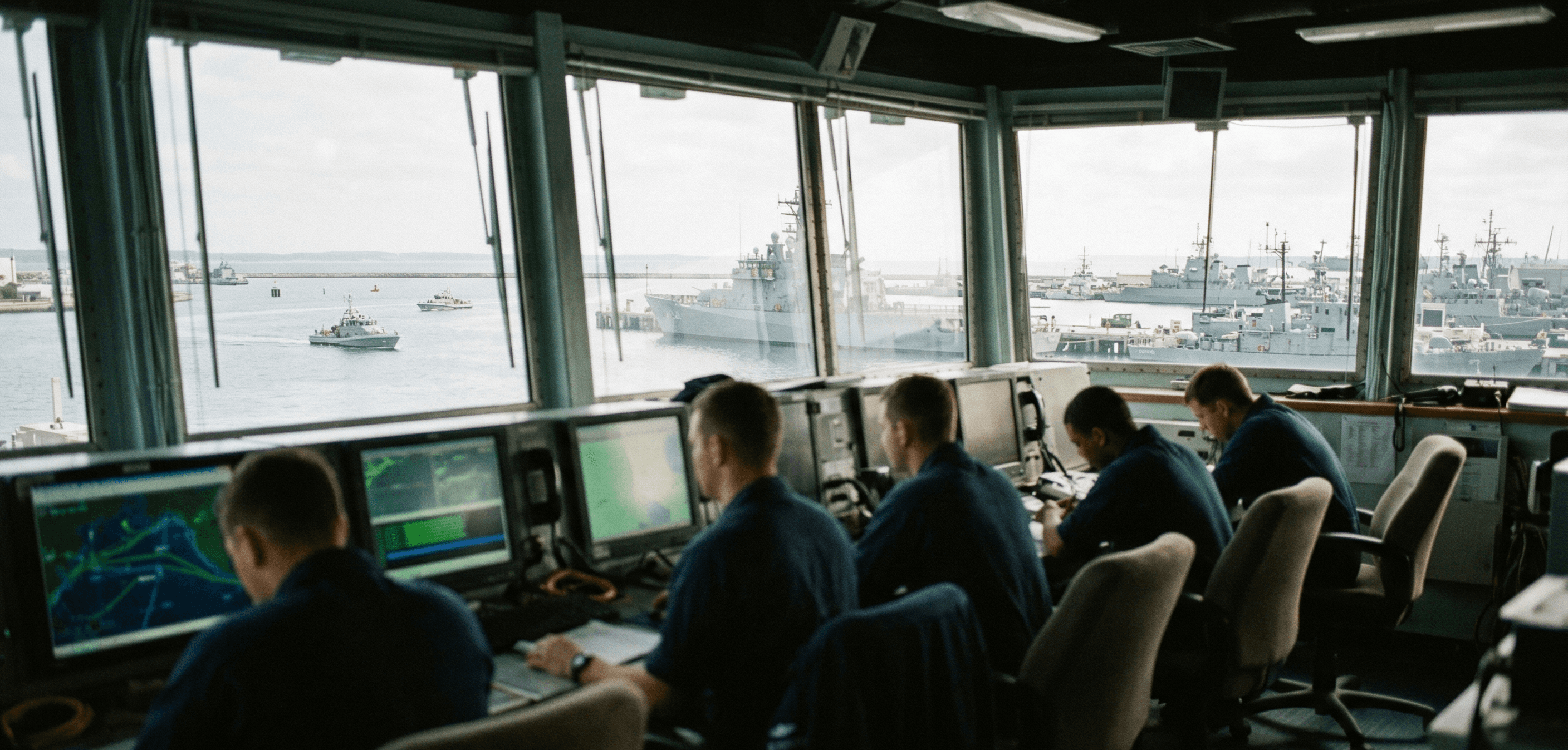
Command traffic, ISR/video, maintenance systems, and crew or admin demand compete for the same shipboard uplink.
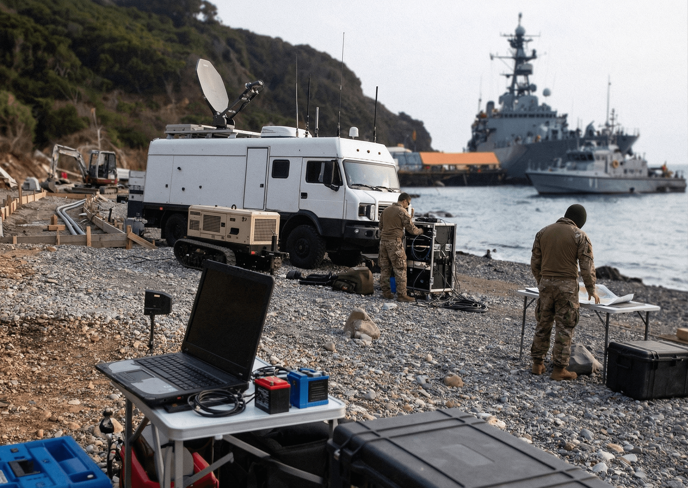
Temporary response geometry
Search-and-rescue scenes, spill response, and port-security surges create ad hoc shore nodes, aircraft relays, and patrol craft that rarely share one stable network.
Limited onboard comms manpower
Small crews cannot keep selecting paths, reconfiguring gear, and troubleshooting remote links while running the mission.
Hoplynk unifies maritime transports and operating zones into one adaptive layer for government missions at sea.
Learn how Hoplynk's solutions can work for your team.
Autonomous Network Management
Hoplynk's Hydra AI evaluates link health across ship, shore, and response nodes and adjusts routing as vessels move between port, littoral, and offshore coverage.
Multi-Transport Resilience
Hoplynk's integrated systems manage satellite, cellular, Wi-Fi, radio, and wired feeds as one operating link so failures degrade gracefully instead of all at once.
Fleetwide Visibility
Hoplynk's Argus dashboard shows link status, policy state, and node health across vessels, shore sites, and temporary detachments from one control view.
Shared Backhaul Governance
Policy pushed from Argus can prioritize surveillance, command, and responder traffic over lower-priority demand when one constrained maritime uplink has to carry everything.
Predictive Reliability
Hydra shifts traffic before weak upstream windows, shoreline masking, or weather-driven degradation turns into session loss for command, video, or reporting.
Solutions For Your Team
See how Hoplynk can help solve your unique communications challenges.
Harbor Exit Continuity
Keep cutters, patrol craft, and support vessels on one managed connection as they leave pier-side infrastructure and step through coastal coverage toward offshore links.
Border Patrol Backhaul
Support live video, imagery, and surveillance data from patrol aircraft, shore posts, and maritime units when commanders ashore need the same operating picture without waiting for manual relay.
Maritime SAR Reachback
Preserve case data, coordination traffic, and remote expert reachback when search patterns push crews beyond predictable terrestrial coverage and onto mixed satellite paths.
Contingency Shore Nodes
Stand up secure networking at temporary piers, disaster-response sites, or deployable maritime communications posts when shore-side infrastructure is damaged or overloaded.

Autonomous Surface Oversight
Keep uncrewed surface systems, relay nodes, and crewed support vessels tied into the same control picture across mixed transport paths.

Explore Other Industries
Learn how Hoplynk serves other groups in Defense & Government.
Port, littoral, and offshore operating areas in one mission footprint
Crewed vessels, small craft, shore stations, aircraft, and autonomous systems sharing data
Variable weather, sea state, shoreline masking, and uneven coverage
Mixed command, sensor, video, admin, and crew traffic on constrained backhaul
Small onboard teams and temporary response sites with limited technical support
Reduces manual link switching as vessels transition between networks
Extends resilient connectivity across dispersed maritime missions
Supports both crewed and autonomous maritime operations
Improves centralized visibility across vessels and coastal sites
Helps preserve continuity during response, patrol, and security events
See how Hoplynk can preserve continuity across government maritime operations.
Contact us to request a private technical overview or discuss pilot deployments.


